Identify what I'm looking at
- Montana Field Guide
- Flyway Birding Building
- Fieldmark Building
Know the places you visit. Understand the life you observe. Build better records of what you find.
— FREE · PLACE
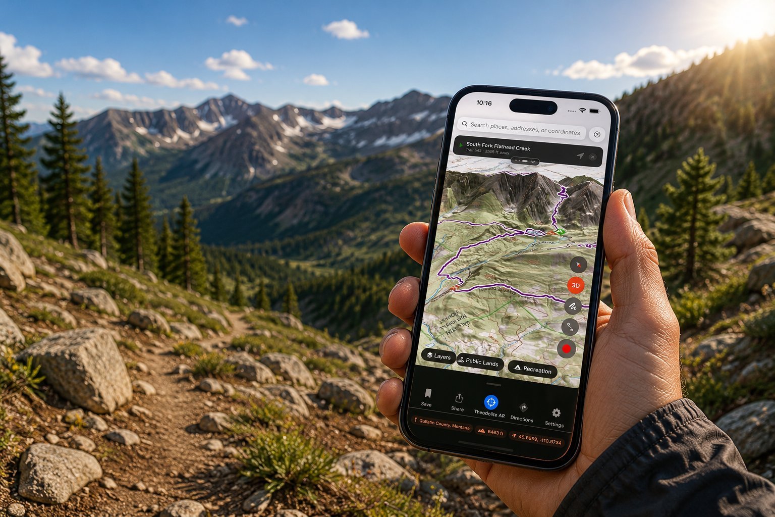
Place is a iOS app that turns any point on the map into one readable report — terrain, geology, water, land status, ecology, recreation, weather, and light. Use it at the trailhead, on the ridge, from the truck, or while planning from home. Start free with the core report and saved places; upgrade to Pro for every section, offline maps, AR peak ID, and the full field toolkit.
Built to read the whole landscape — terrain, geology, water, public-land status, ecology, weather, and the sky overhead.
Field reference for Montana's living world
Publish iNaturalist observations from Lightroom
Rich location metadata for Lightroom Classic
Watch an Ice Age lake fill, fail, and drain
Each one solves a problem we keep running into in the field. We'll ship them when they're useful, not when they're announced.
Birding intelligence for active birders
Evidence-first identification for serious naturalists
Nature-first trip planning
Geology-first field awareness
— FREE · MONTANA FIELD GUIDE
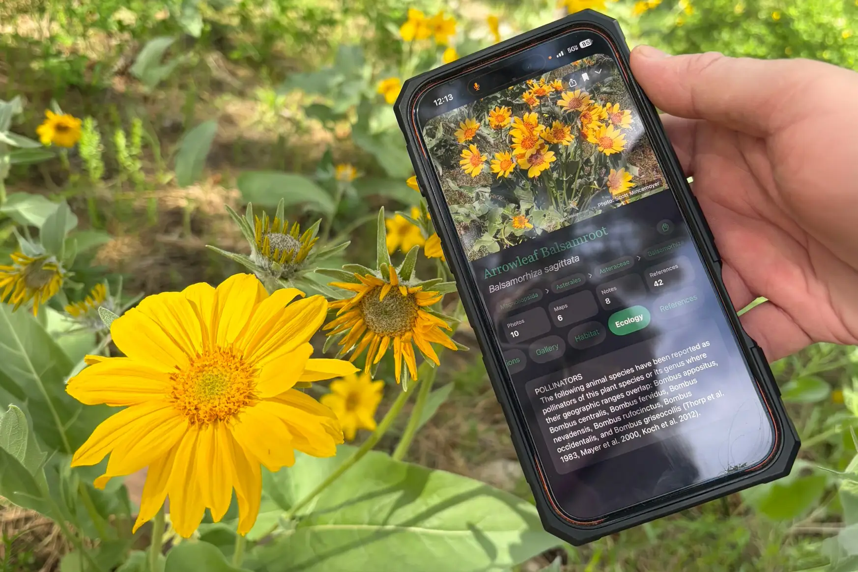
Montana Field Guide is a free iOS app for exploring Montana’s living world — mammals, birds, fish, reptiles, amphibians, plants, fungi, lichens, insects, and more. Use it in the field, classroom, truck, blind, trailhead, backyard, or anywhere curiosity kicks in. Browse species pages, photos, maps, habitat notes, seasonal patterns, conservation context, and taxonomy — without needing an account or subscription.
Built for Montana’s natural world — from alpine ridges and prairie breaks to wetlands, forests, riparian corridors, and backyard discoveries.
Every claim our apps make is sourced. We tell you where the data came from, when it was last updated, and what it doesn't cover.
No analytics SDKs, no marketing pixels, no behavioral profiling. Apps work offline. Your records are yours.
We contribute back to iNaturalist, eBird, and OSM. We respect API terms. We publish our data limitations alongside our successes.
Building a defensible record of what lives where
Watching birds with structure, not noise
Cataloging field images with context that lasts
Reading the ground — at amateur or pro depth
Knowing the country before, during, and after a trip