
Description
GPS tells you the point. GeoPlace tells you the place.
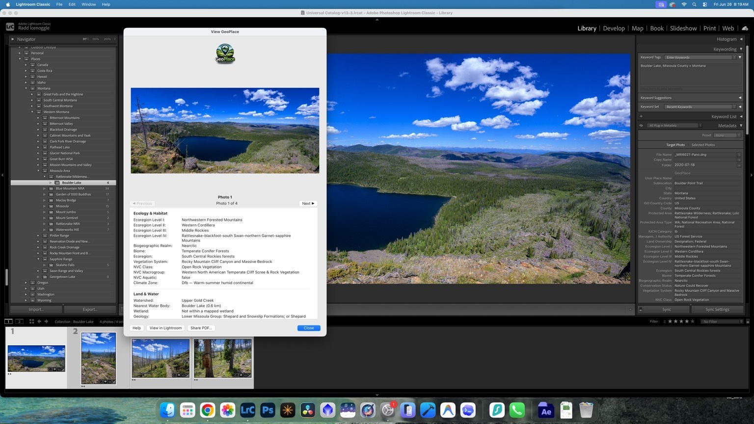
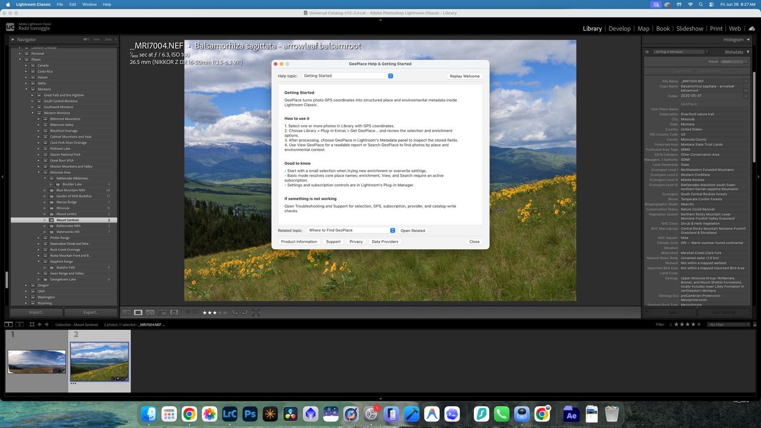
GeoPlace is natural-place intelligence for Adobe Lightroom Classic. It turns embedded photo coordinates into searchable, structured context so you can find, understand, and organize field photography by the landscape around it—not just by a city, folder, filename, or map pin.
Turn coordinates into searchable natural context
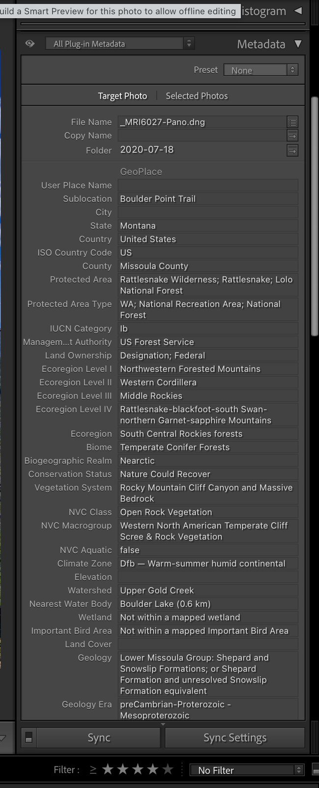
GeoPlace can resolve and write useful context for parks, refuges, public lands, watersheds, wetlands, nearby water, ecoregions, elevation, geology, vegetation, climate, fire context, conservation, land cover, and place names directly inside Lightroom Classic.
The result is a catalog that can answer practical questions:
- Which photographs were made in this watershed?
- Show every image from this refuge, habitat, park, or ecological region.
- Find photographs from repeat field locations even when folder names changed.
- Understand the environmental setting behind an image without opening a GIS project.
Built for field photographers
Nature and wildlife photographers can organize by habitat, protected area, refuge, water, ecoregion, and repeat location instead of relying on vague city labels or memory.
Landscape and travel photographers can create a repeatable place hierarchy across trips, regions, elevations, watersheds, and geographic collections.
Naturalists, educators, and conservation communicators can connect photographs with ecological and geographic context without building a separate GIS workflow.
Work where your catalog already lives
- Enrich one photo or thousands. Process a small selection, a real shoot, or a larger archive.
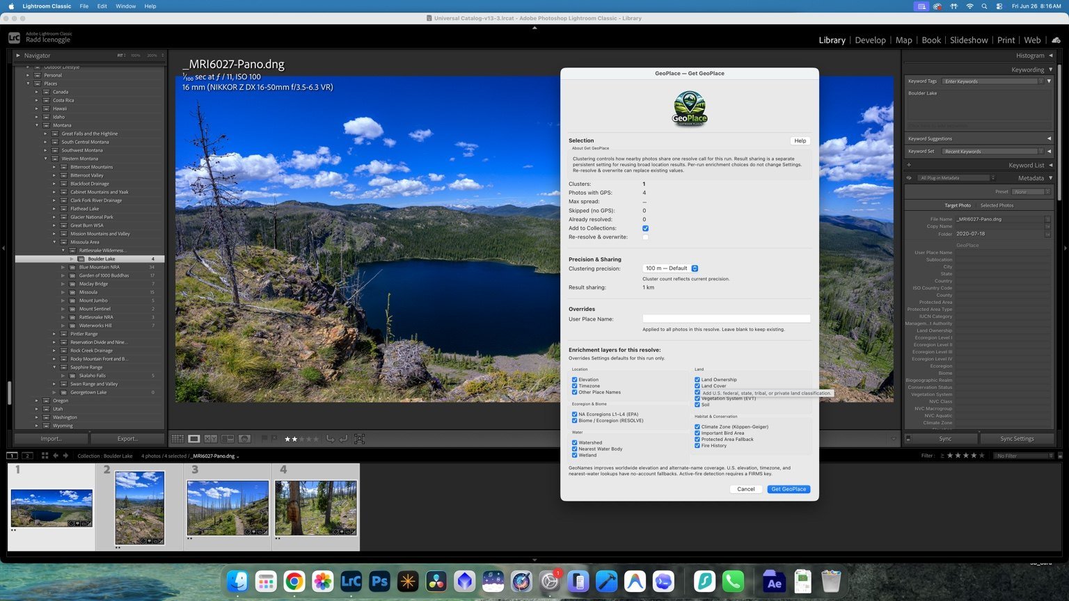
- Choose what gets written. Control location, land, water, ecology, habitat, conservation, climate, fire, soil, geology, and other context layers.
- Keep metadata structured. Use consistent fields for filtering, search, reporting, and export.
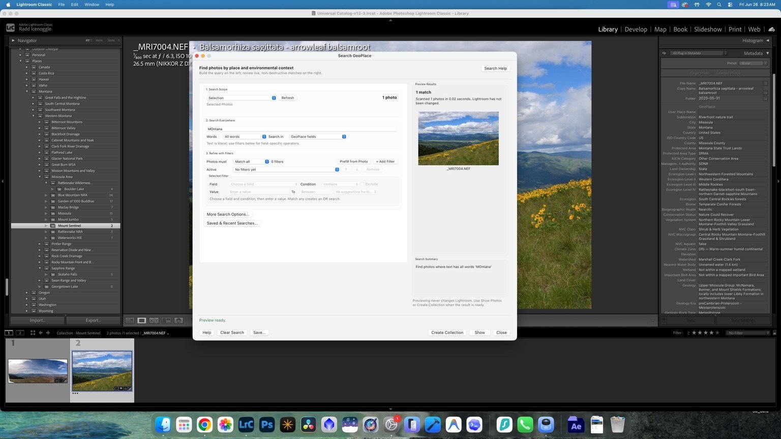
- Find photographs by landscape context. Search by park, refuge, watershed, ecoregion, land designation, habitat, geology, water context, or place name.
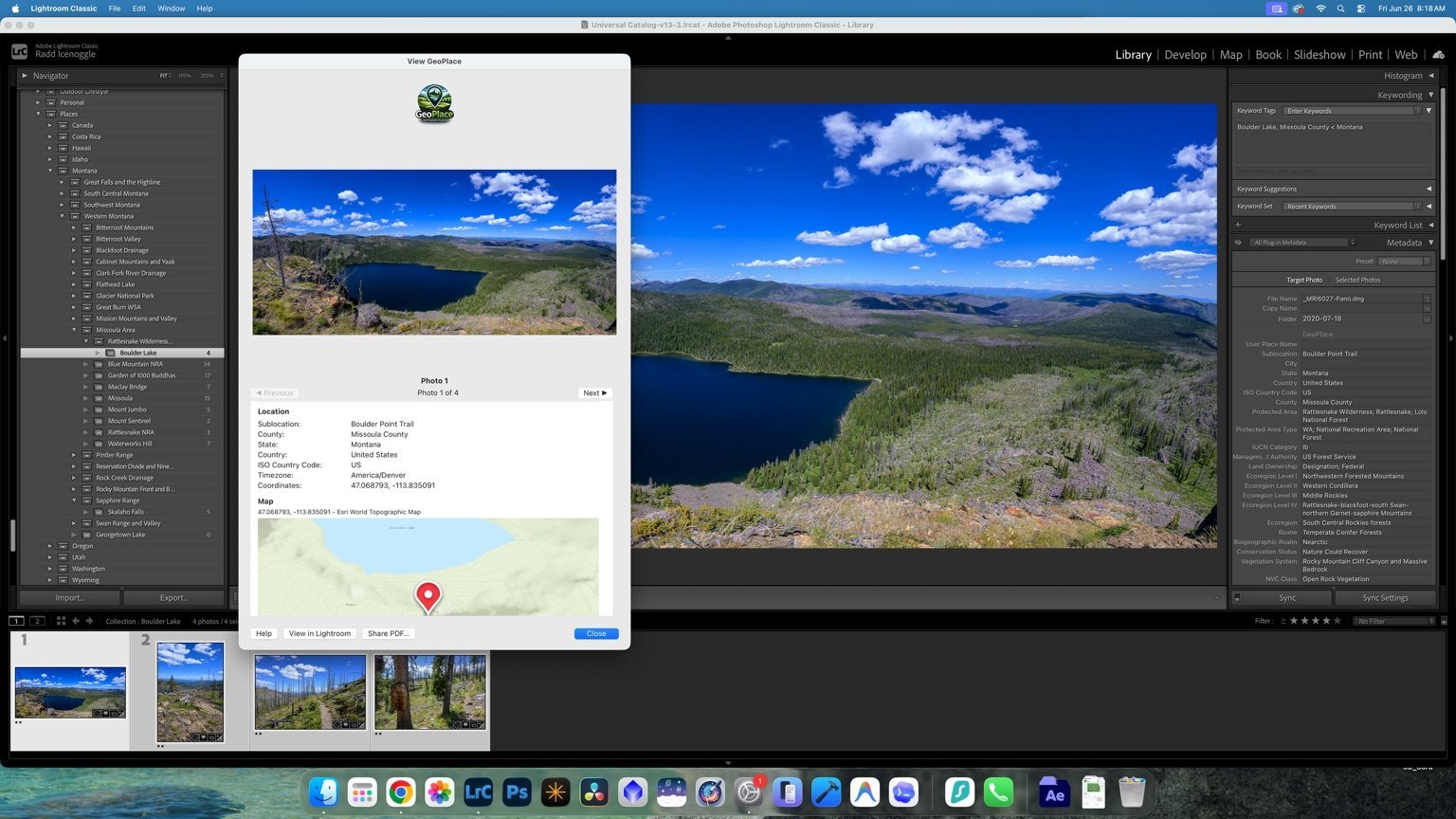
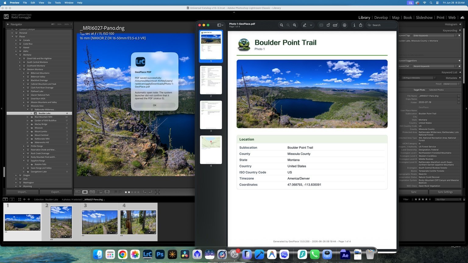
- Create readable reports. Turn structured metadata into location, ecology, habitat, land, water, and geology reports.
- Export polished PDFs. Preserve interpreted place context for field records, research, education, client delivery, and archives.
Start with five photos and ten minutes
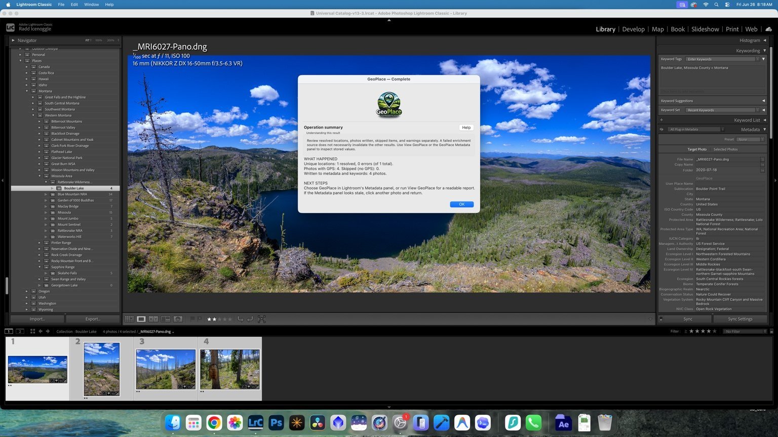
The first step is not rebuilding your entire catalog. Give GeoPlace five reliable, geotagged photographs and ten minutes. Run enrichment, inspect the result in Lightroom, and decide whether the place context is useful for your work.
Then apply the same workflow to a real shoot or past trip, use View and Search to retrieve photographs by place, and create a report or PDF when you need a portable record.
Make your archive remember the landscape
Manual keywording after a trip is tedious and inconsistent. GeoPlace gives GPS-tagged photographs a repeatable natural-place structure so your catalog can remember more than where the camera was—it can remember the landscape around it.