
Landscape intelligence for wherever you are.
Place turns where you are into one structured report — terrain, geology, water, land status, ecology, recreation, weather, and light — drawn from public data.
Understand the landscape beneath, around, and above you.
Place assembles terrain, geology, water, land status, ecology, recreation, weather, air, light, and astronomical context into one readable report for a point on the map.
Built by Nature Tools, it brings together public terrain, geology, water, land-status, ecology, weather, and sky data so you can read the country you are standing in — on the trail, at a trailhead, or while planning from home.
-
05:48Pre-trip
NaturalistTripper builds a route. Place caches geology and ownership.
-
06:24On the ground
Montana Field Guide opens to species accounts without signal.
-
10:30Capture & log
Photographs land in Lightroom. Flyway Birding logs the count.
-
eveningPublish
GeoPlace tags every photograph. iNat Publish Pro batches the day.
A place is more than coordinates and a weather forecast.
Place is built for naturalists, photographers, hikers, biologists, and curious travelers who want a coherent view of the landscape.
Read the place as a connected system
Bring together terrain, geology, hydrology, ecology, public-land context, weather, light, and nearby features in one structured report.
Explore the map by theme
Turn on trails, protected areas, fire history, geology, fossil potential, land status, and other layers without losing the broader context.
Interpret what is around you
Use location-aware and augmented-reality tools to relate mapped information to peaks, terrain, landforms, and visible landscape features.
Screenshots
See Place in the field
-
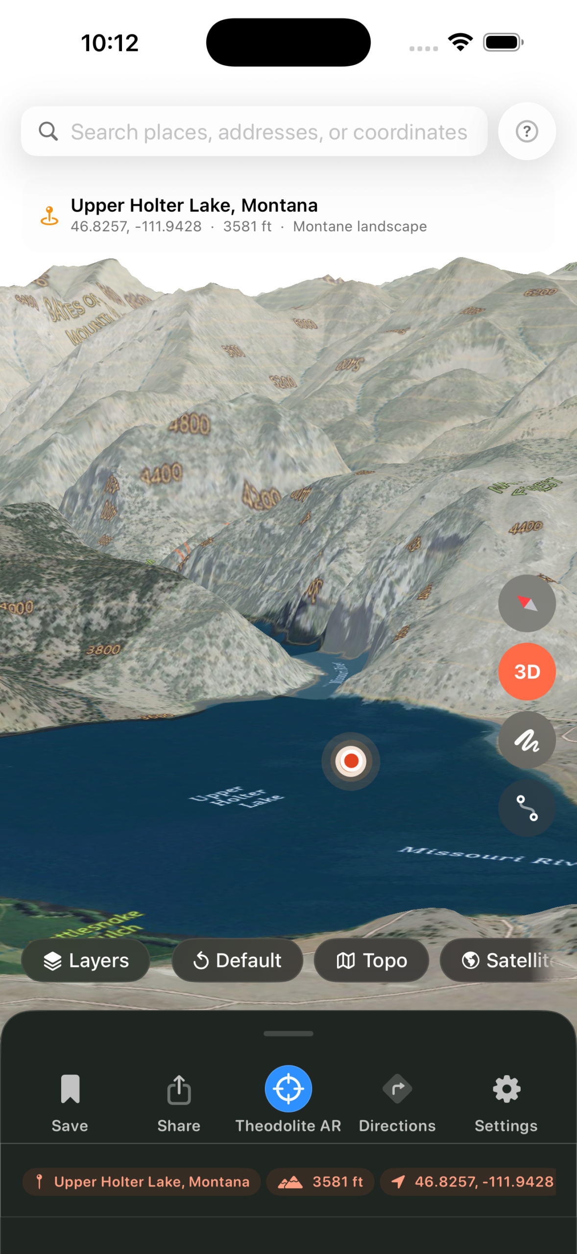
True 3D terrain with water, contours, and labels -
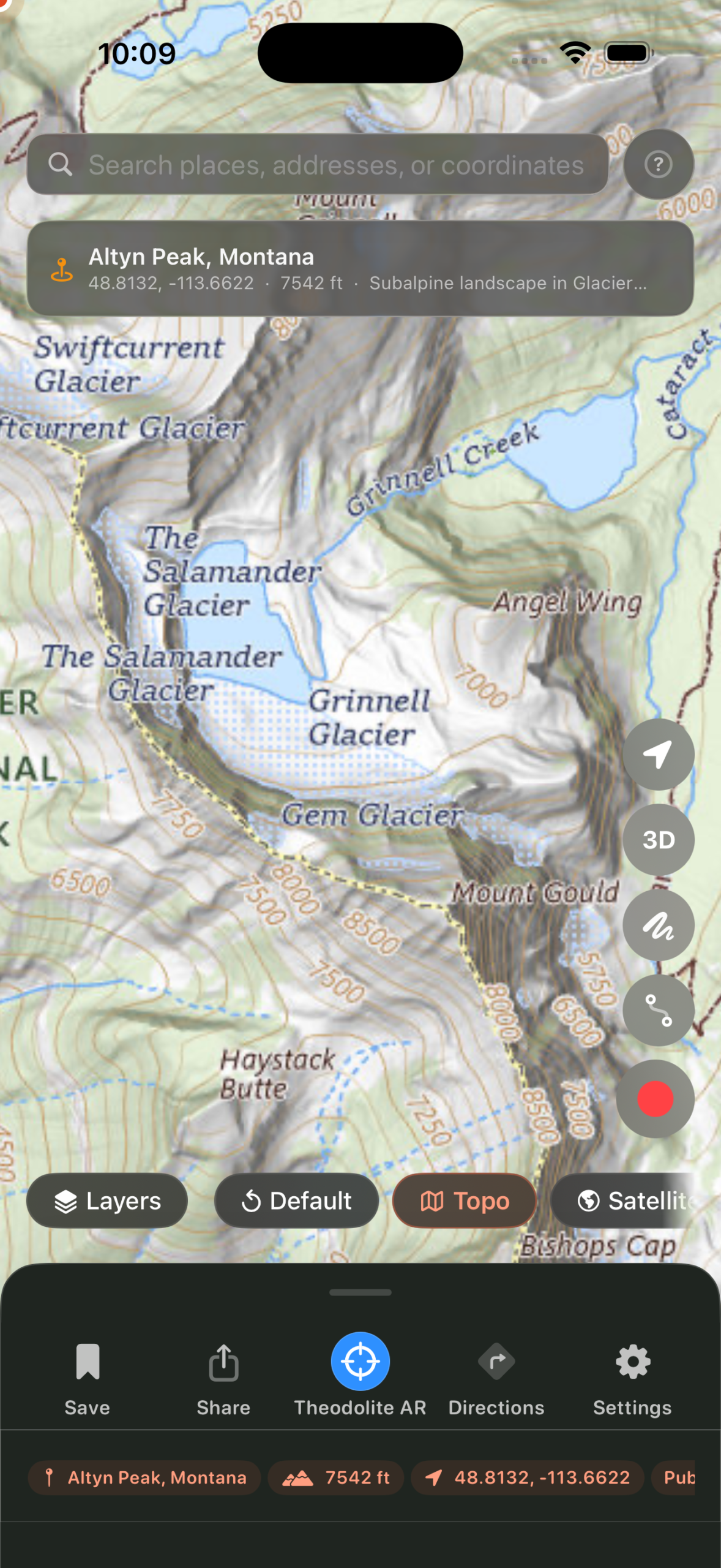
Topographic basemap with named landforms and glaciers -
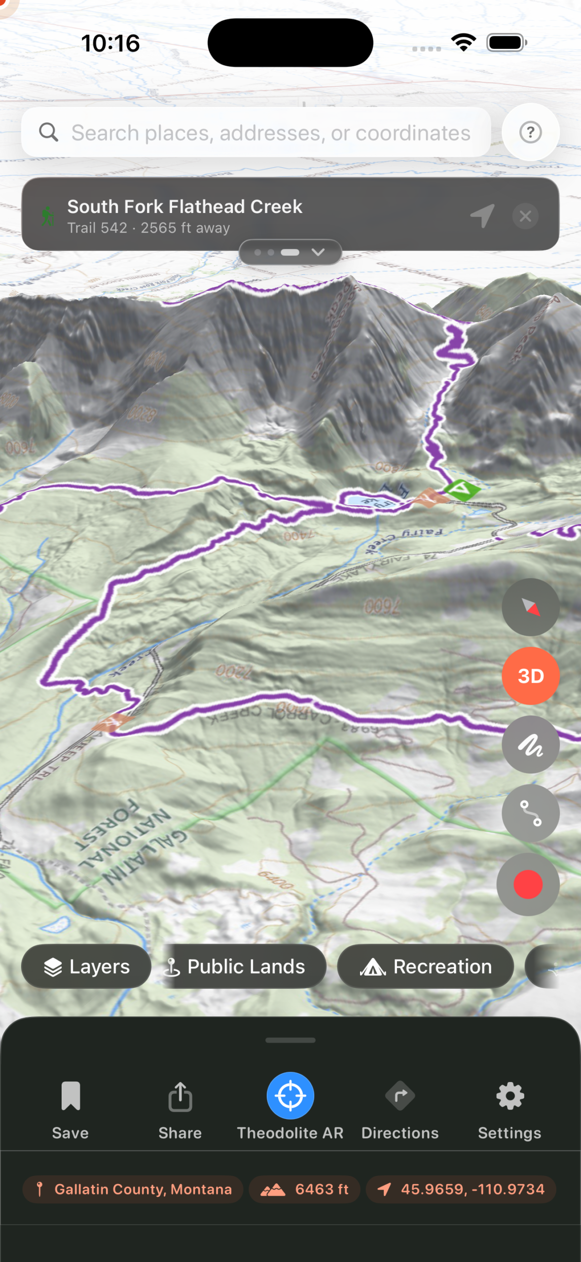
Trails, public lands, and recreation in 3D -
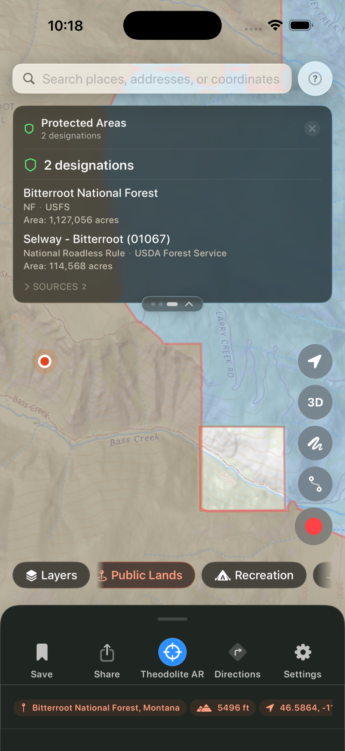
Land status and designations, with cited sources -
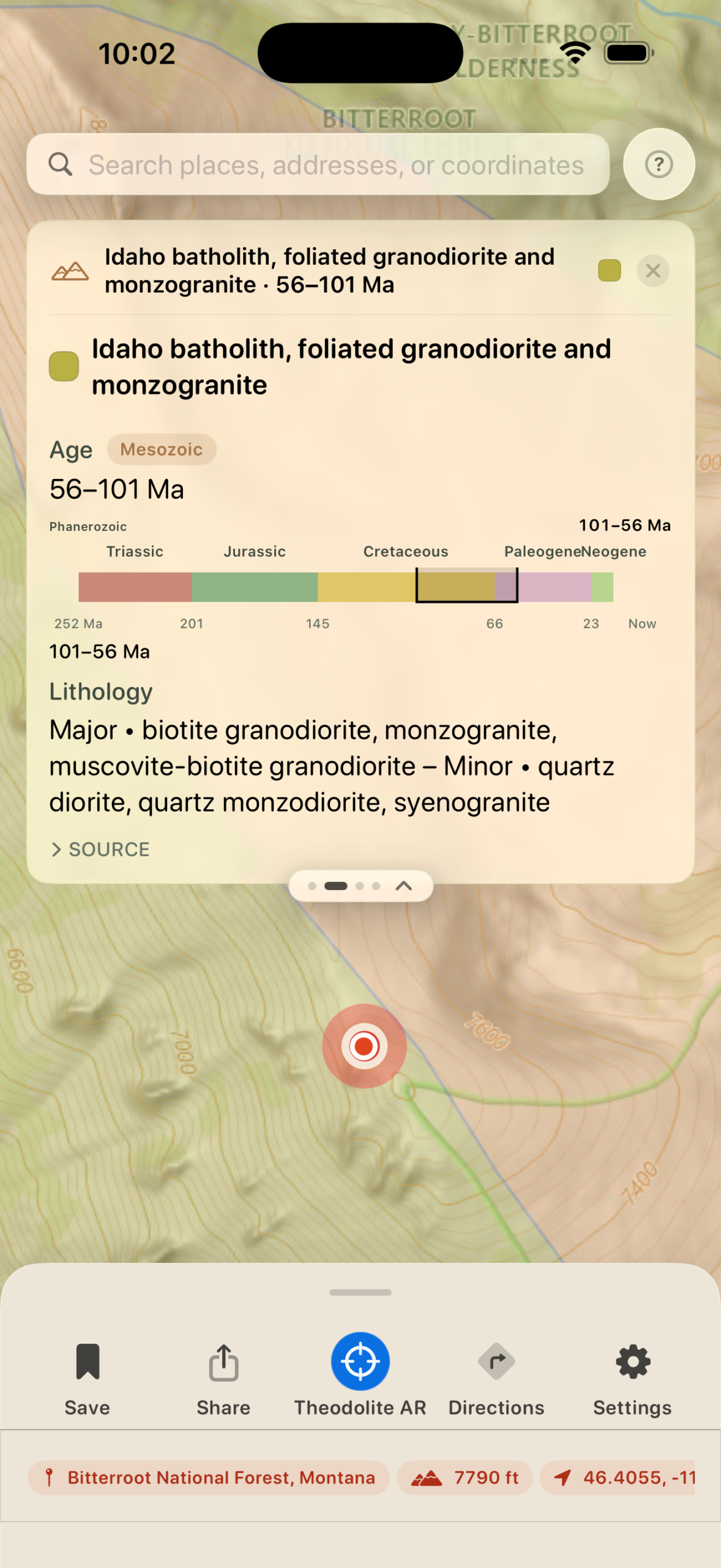
Bedrock geology with age range, timeline, and lithology -
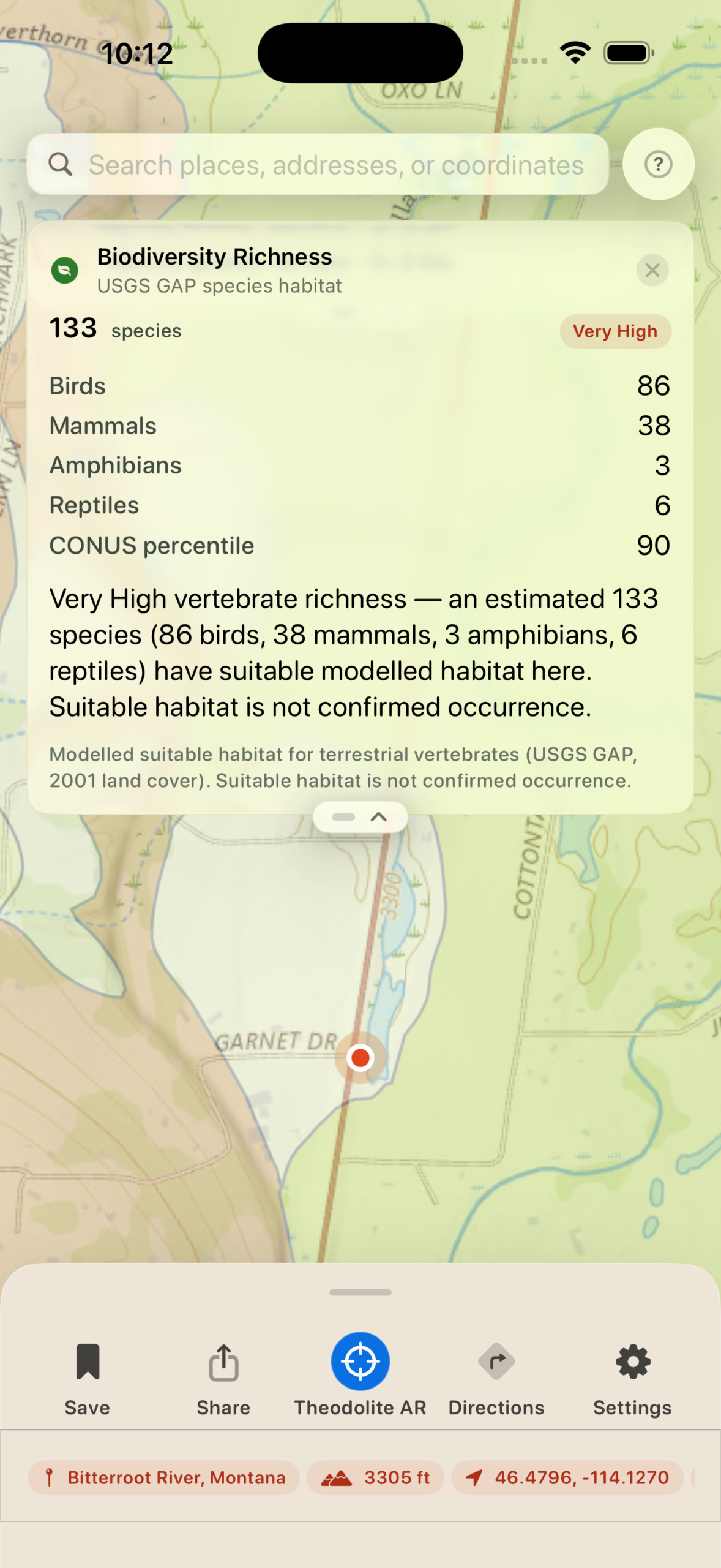
Modelled species richness from USGS GAP habitat data -
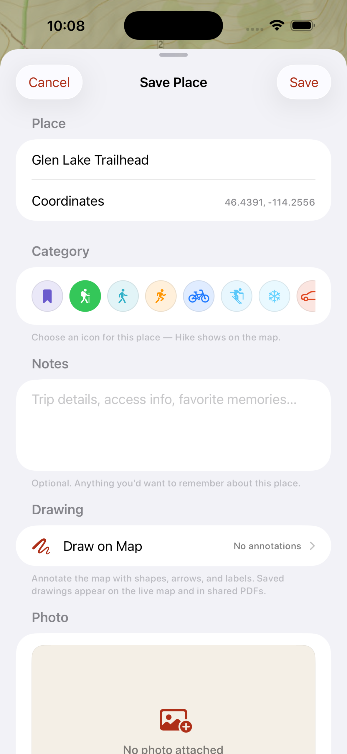
Save places with categories, notes, photos, and drawings -
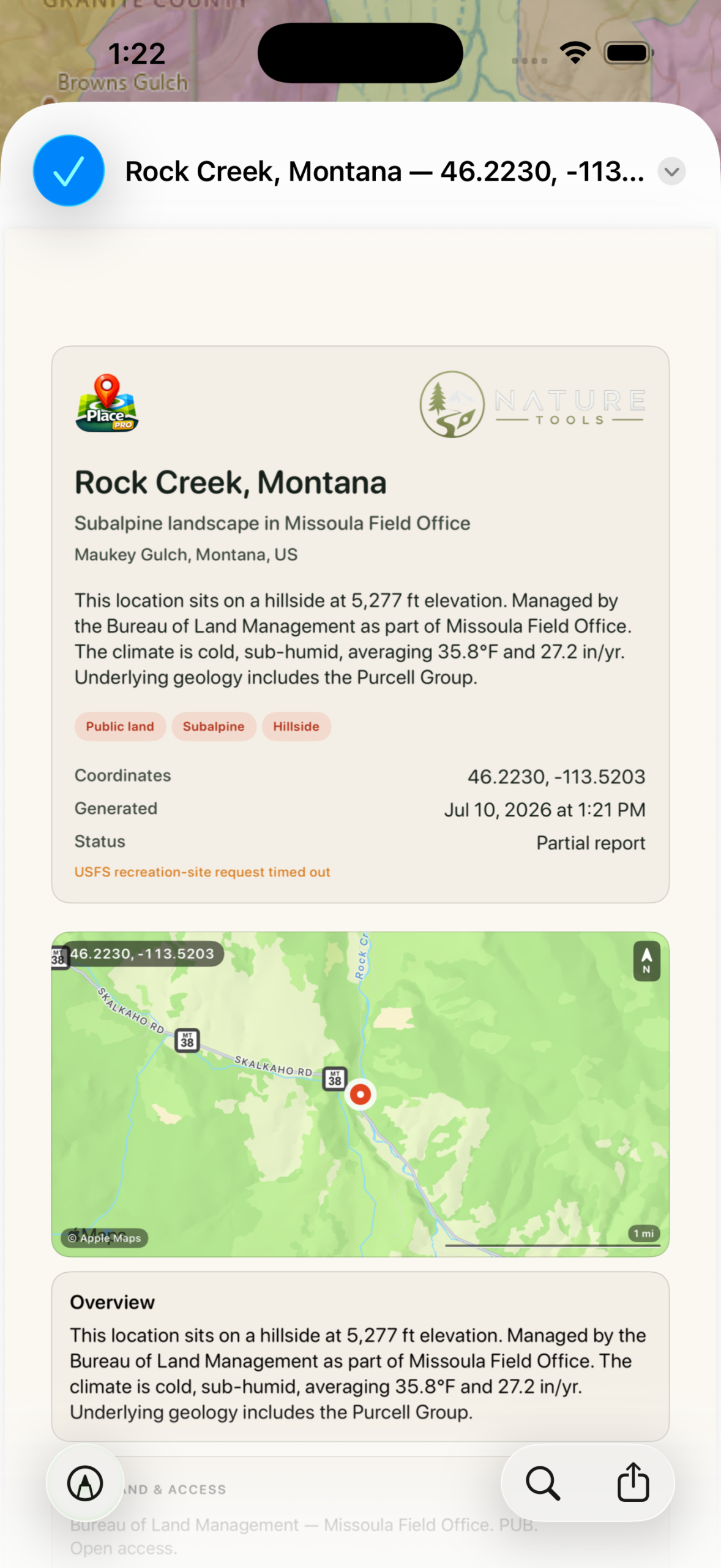
Export a full place report as a PDF with sources -
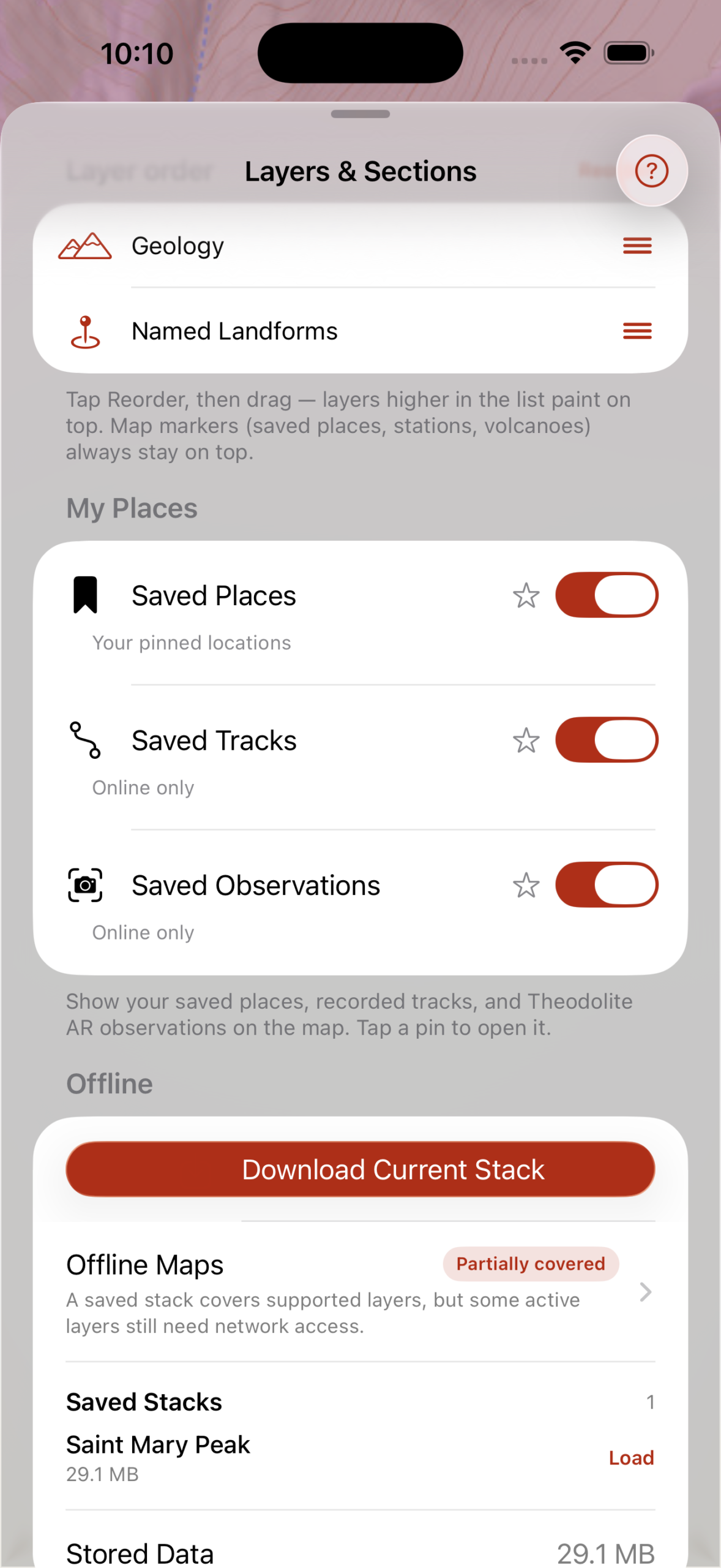
Reorder layers and download offline maps for backcountry use
Free to start. Pro for the whole picture.
Place is free to download, with three report sections and three saved places. Place Pro unlocks every section, unlimited places, offline maps, and the field toolkit.
| Feature | Free | Pro |
|---|---|---|
| Report sections | 3 | All |
| Saved places | 3 | Unlimited |
| Daily reports | 50 | Unlimited |
| Offline maps + peak packs | Not included | Included |
| AR peak identification | Not included | Included |
| Map overlays | Not included | 36 |
| Standalone Apple Watch app | Not included | Included |
| PDF export with sources | Not included | Included |
| Sync across iPhone, iPad, and Watch | Not included | Included |
Many public datasets, one interpretive view.
- USGS, NOAA, FEMA, PAD-US, and other public environmental datasets
- Terrain and elevation services
- Public geology, hydrology, ecology, weather, and astronomy data
- Device location, heading, and camera sensors where enabled
- Coverage and resolution vary by layer and region.
- Place is not a navigation, emergency, legal-boundary, or access-authority tool.
- Some values are modeled or interpolated and should be treated as estimates.
Common questions.
Is Place a navigation app?
No. It is an interpretive landscape-information tool and should not replace maps, route planning, emergency communication, or field judgment.
Where is coverage strongest?
The United States currently has the richest and most consistent public-data coverage.
Can I rely on land boundaries for legal access decisions?
No. Always verify ownership, closures, easements, and access rules with current authoritative sources.
See the systems that make a place what it is.
Place is available now on the App Store.